How the construction of various transportation corridors gave the city of Miami its topography.
Anyone who took a History of Miami class knows that Ford and Flagler brought people down to Miami through the construction of a railroad and a hotel, called the Royal Palm Hotel on the Miami River. What most people do not know, however, is that in 1892 when Miami was incorporated as a city about half of the population was black, many of whom worked in building the railroads that brought Miami to life. At this time, deep south segregation laws called for the city to map out a specific “Colored Town,” which they designated as North and West of the new railroad tracks. This simple story, while an emblem of our racist past, shows the importance of transit corridors in creating boundaries in the city, while also being an economic engine. The train tracks brought a population of working-class individuals and tourists to Miami. The tracks also created the first boundaries in a city without any topography of its own.
Over the following 60 years, “Colored Town” thrived. Blacks and whites alike would go for nightly entertainment, NW 2nd Ave was packed with locally owned businesses, and the community was home to the South’s first black millionaires. Artists and luminaries such as Ella Fitzgerald, Nat King Cole, Jackie Robinson, and WEB Du Bois would stay at its hotels and play in its clubs. In 1960 all of that came to a halt with the construction of I-95 and the Dolphin Expressway (836 & I-395). “Colored Town” would now be known as Overtown, and its population would plummet from 50,000 to just under 10,000 people. This is a scene that played itself out up much of east coast, however, it could have gone differently, and it did in some instances. In Martin County, local officials fought to reroute I-95 to the west, through mostly rural areas to create more of a “ring road” system just past their cities. This left the towns of Jupiter and Stuart untouched and left their neighborhoods intact. As a result, the Loxahatchee River area cities and others by the St. Lucie River still remain as thriving communities with much of the same major thoroughfares as before.

Construction of I-95 through what is now known as Overtown
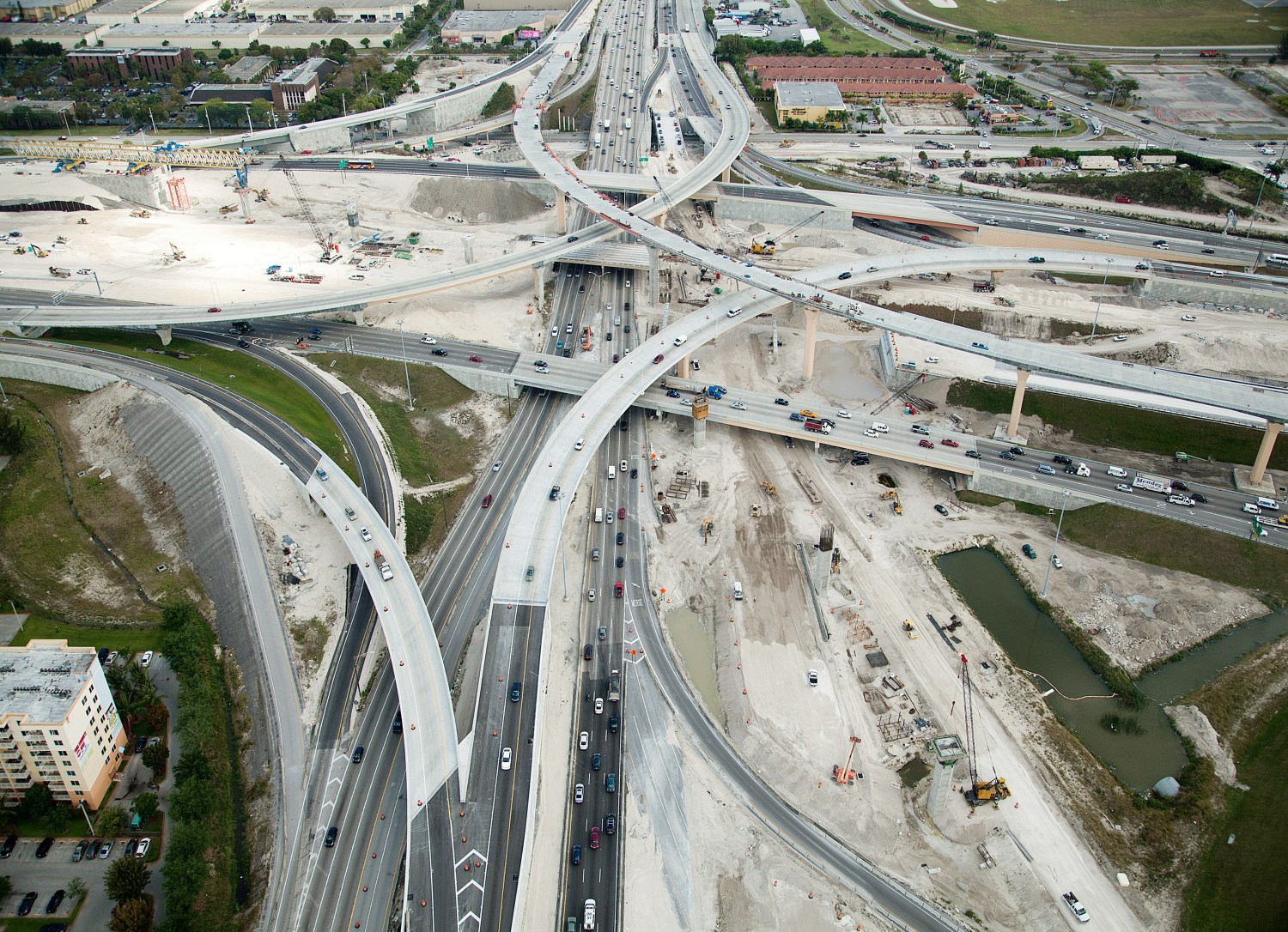
Large-scale highway construction in Miami began with a resolution in 1956 when plans were unveiled for 6 new highway corridors. Some were never realized, such as a “downtown loop” and “Dixie Expressway” which would have presumably followed US1 to the south. The ones that are here today are I-95, SR 836, SR 826, and SR 112. These highways were all built over the following decade in rapid succession.

Map of Miami with a focus on its Highways
When SR 826 was opened, the Florida Turnpike did not go South of the Golden Glades interchange. 826 was meant to act as an extension of it, cutting through the mostly agricultural land to the west of Miami. As it happens, the city slowly swallowed the highway, and a “bypass to the bypass” for the turnpike had to be built 4 miles to the west of 826. Looking at a map of Miami today, SR 826, or the Palmetto as it is called, looks to be closer to the center of the city than the outskirts. Also, it acts as the borders of new cities like Doral, Pinecrest, and Kendall, its exits along major corridors through those neighborhoods. We can now see a similar pattern emerging to the west of the Turnpike, creating large housing communities like Kendale Lakes and the Crossings.
SR 836, or the Dolphin Expressway, was originally called the “Fourteenth Street East-West Expressway,” its main intention was to connect 826 to US1. The first leg was completed in 1969, and the extension from 836 to the new Turnpike was completed in 1974 (Interestingly, the same year the Dolphins won the Superbowl, which prompted them to rename the highway the Dolphin Expressway). As it was built mostly along the southern edge of Airport land, it did not cut through communities as other highways had until it reached downtown. Today, there is a proposal to raise the highway up, to allow for a more seamless transition for pedestrians and cultural institutions beneath it.

Proposal to raise the Dolphin Expressway through Downtown
Today we are about to embark on a different kind of infrastructure construction: Public Transit. A bold plan of 5 new transit corridors has been proposed by the county. Perhaps some of them will never be realized, but some of them will be. The locations they mark, the boundaries they create and the nodes they impose will forever be a part of our city, and effect change, whether intentional or not. Let us not make the same mistakes of our past, and truly engage communities and use thoughtful design in executing this much-needed plan.
Be sure to like us on Facebook!
—
Sources:
http://wlrn.org/post/how-i-95-shattered-world-miamis-early-overtown-residents
https://en.wikipedia.org/wiki/Midtown_Interchange
https://en.wikipedia.org/wiki/Florida_State_Road_826
https://en.wikipedia.org/wiki/Florida_State_Road_836
http://www.npr.org/templates/story/story.php?storyId=129475747
http://miamiarchives.blogspot.com/2014/01/expressway-construction-in-miami-1960s.html
http://www.miamitodaynews.com/2016/12/20/state-nears-new-395-signature-bridge-downtown/
